History
History
On June 9, 1729, magistrates met at the tavern of John Postlethwaite, which was near the Conestoga Creek in Conestoga Township. Out of this meeting came the names and boundaries of the 17 original Townships of Lancaster County. Elizabeth Township was formed in 1757, and Clay Township was name for Henry Clay who died on June 29, 1852, at the age of 76.
The Nanticoke Indians settled in the area known as Indiantown in about the year 1721. There is a red sandstone boulder with a bronze tablet on it commemorating the Nanticoke Indians, located at the Indiantown Church site.
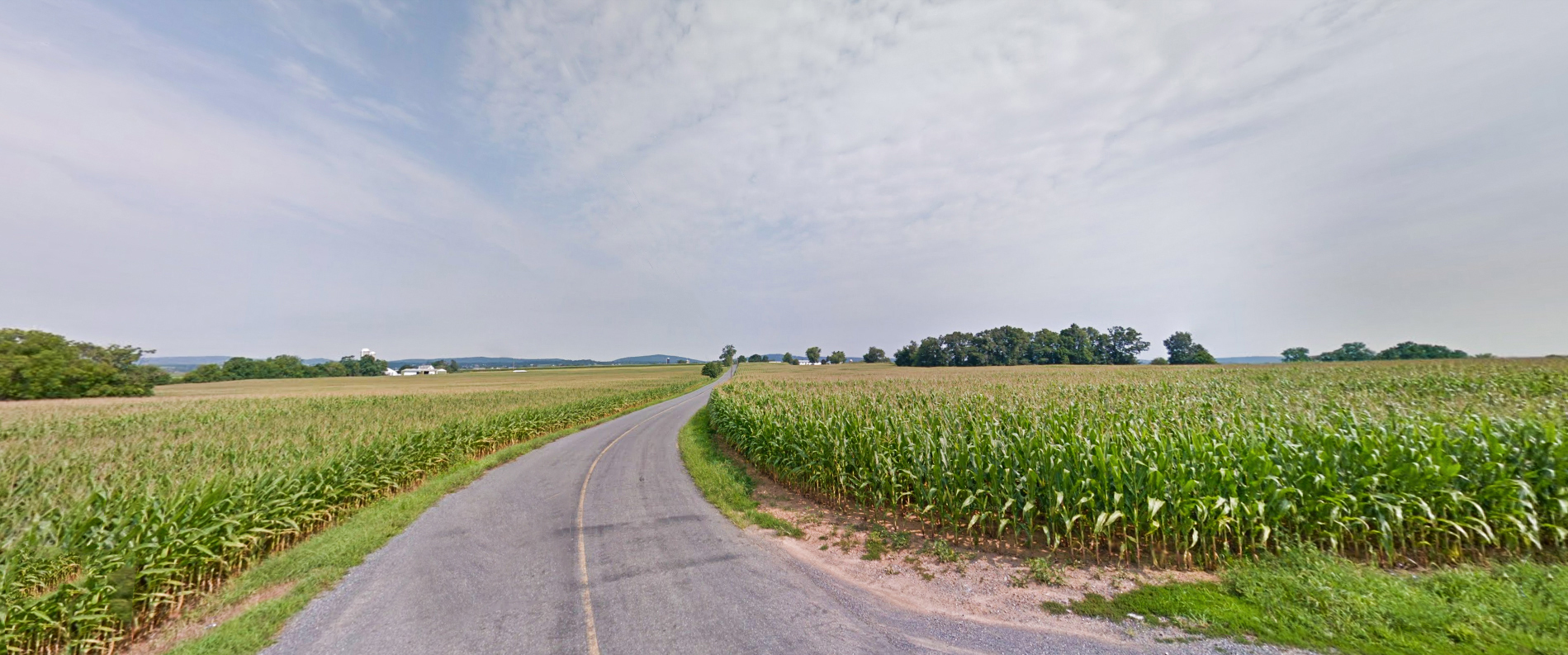
An influx of German pioneers settled in Clay Township from circa 1740 to 1770 and on November 30, 1750, Peter Wealand obtained a land grant for 50 acres near the Village of Clay from John Hostetter. Originally, the land was part of that belonging to the Penn family. Wealand erected a frame gristmill on a stream called “Legawi”, an Indian name for middle, now called Middle Creek. The main occupations in the early days was farming, followed by milling/ gristmills and sawmills, were located on one of the streams, and run by water power. At the southern end of the Township large quantities of limestone were quarried, and in the hills were found some of the best red sandstone in the state, which were used to build the old Lancaster Courthouse and the Lancaster Prison. Large quantities of tobacco were raised which in turn led to the manufacturing of cigars.
The Clay Hotel also has a long historical tradition, for the land on which it is situated once belonged to William Penn. Michael Huber purchased 13 acres from John Hostetter on November 5, 1766, near the Village of Clay and the following year, 1767, erected the Clay Hotel.
The town of Hopeland was called Newtown until 1897, when a post office was established and the name was changed to Hopeland. In 1909 the Ephrata Lebanon Street Railway Company was chartered, and by 1913 there was a full line running from Ephrata to Lebanon by way of Hopeland.
Population: 6,308 (2010)
Housing Units: 2,223
Total Area: 22.7 miles
Total Miles of Township Roads: 58.04
State Roads in Clay Township: 14.25 miles
Rt 322 (SR0322) Kleinfeltersville Road (SR1035)
East Mt Airy Road (SR1026) Clearview Road (SR1028)
Hopeland Road (SR1026) West Mt Airy Road (SR1026)
Current Millage: 1.17 mills